THE EVOLUTION OF MAPS
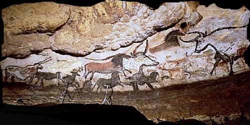
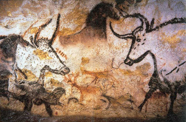
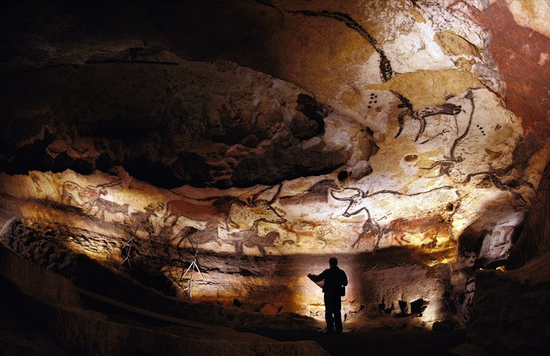
Maps have been around for thousands of years. One of the first maps dates back to 16,500 BC. It shows part of the night sky and was found on the walls of the Lascaux caves in France, which hold some of the oldest cave paintings in the world.
Over the ages, maps continued progressing, and cartography became an art. This was especially true in the Middle Ages, you could become very wealthy if you were a good cartographer.

The Fra Mauro map, a great medieval European map, was made around 1450 by the Venetian monk Fra Mauro. It shows Aisa, Russia and Europe. In the top left corner, it shows the planets orbiting the sun. In the other corners, there is a drawing of two women in a garden.
In modern day cartography, people draw maps of the ocean floor, and vertical maps with satellite images. The maps are usually computer generated, and would never achieve the beauty of hand-drawn maps.
